A variety of geophysical services are found through the following links
The results of geophysical surveys can be used to inform professionals on how best to explore, develop and utilize the resources in a given area. By utilizing geophysical services, companies can reduce their financial risk and gain greater confidence when it comes to investing in an area of concern where they may not have sufficient knowledge.
These services include seismic surveys, magnetic surveys, borehole logging, site characterization studies, geotechnical engineering assessments, and more. Each of these services helps to provide valuable insight into the subsurface characteristics of a given region and is used by geoscientists to better understand the earth’s environment. The links provided below offer access to geophysical services providers.
Geophysical services and unique applications
Geophysics is a powerful tool for the analysis of geological, construction, remediation, and groundwater engineering challenges. Through the use of advanced technologies such as electrical resistivity, seismic MASW/refraction/reflection, ground penetrating radar (GPR), magnetometers, line locators, ground vibration monitors, and electromagnetic surveys among others, engineers can generate useful data that assists with making informed.
This data can be used to gain insights into issues such as landfill and Superfund site characterizations, soil classification assessments, scanning concrete structures for any potential hazards or weaknesses, monitoring vibrations in the ground to identify possible risks of destabilization in roadways or embankments, and so forth. By accurately assessing potential issues at an early stage it is often possible to avoid costly mistakes. GeophysicsSurvey.com is a modest website that provides comprehensive near surface geophysical services and links to other providers!
Geophysical characterization of levees
The geophysical characterization of levees is an important and effective way to help protect these essential structures. With the use of advanced geophysical techniques, such as electrical resistivity tomography (ERT), MASW, electromagnetic terrain conductivity, or ground penetrating radar (GPR), engineers are able to detect seepage, potential erosion, or monitor instability issues at levees before they become a hazard. By creating an image of the subsurface structure, geophysicists try to identify areas along the levee that may be more prone to seepage, flooding, or erosion than others. This assists with taking action to reinforce those sections. Such action can include adding additional material like riprap, improving drainage around the area, and re-grading slopes. In addition, by looking for changes in soil properties over time and monitoring for unexpected shifts in subsurface conditions due to climate change or natural events, geophysics can help create a proactive approach for levee management. Through such means, geophysical characterization of levees can provide invaluable insight into managing these structures so that they remain functional and reliable over time. To see a very specific and small site on geophysical applications for levees, visit ALevee.com.
Bedrock mapping for nutrient management in agriculture
Bedrock mapping for nutrient management in agriculture is a highly specialized and important field. By understanding the soil composition and thickness of an area, agricultural experts can more accurately identify the best ways to improve crop yields and protect groundwater. In addition to pinpointing areas that may adversely impact groundwater, this type of mapping can also help identify faults, joints, and Karst features that may become preferential paths for drainage.
By having access to comprehensive bedrock maps, agriculturalists are better able to optimize their use of soil resources. They can develop more effective land management practices. This includes designing tailored fertilization plans that target more user friendly bedrock conditions. Adjusting nutrient management techniques brings out the most in each plot and protects groundwater. Bedrock and soil mapping also make it possible to create more detailed records of soil health over time, which can provide invaluable insights into long-term trends in fertility levels in certain areas.
With so many benefits provided by bedrock mapping for nutrient management in agriculture, it’s no wonder why it has become an important tool for scientists and farmers alike. With the right data on hand, agriculturalists are now able to make faster decisions about land management strategies while also ensuring their crops have the optimal amount of nutrients needed for healthy growth. If you’re looking for a comprehensive source of information on mapping bedrock, especially pertaining to nutrient management programs, then look no further than BedrockMapping.com! You’ll find an unrivaled selection of literature that will prove invaluable in your research endeavors.
Ground Penetrating Radar
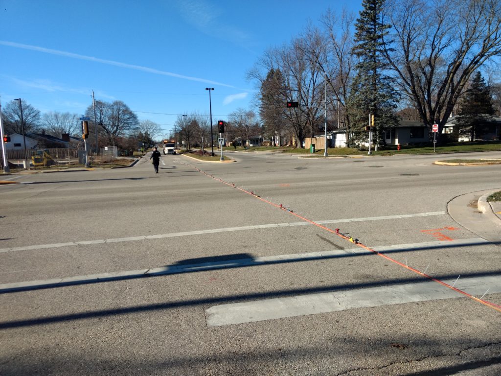
GPR services utilize electromagnetic pulses to penetrate the surface of the ground and map subsurface features in high-resolution images. GPR is most effective when imaging friendly soil-and rock based structures, searching for buried metal objects, detecting voids, and characterizing geological features. The technology is non-invasive and does not require any digging or excavation, allowing for the safe mapping of underground utilities and other objects. Often, GPR provides detailed information about the depth and boundaries of buried objects. Additionally, it allows users to identify possible changes in soil layers or differences between soil layers that regular investigative methods would not detect.
GPR can also be used to map the locations of many subsurface archaeological artifacts such as foundations or ancient burial sites. It’s even been used in research exploring climate change effects on Earth’s surface geology. GPR services offer a cost-effective way to accurately detect underground features without having to disrupt the landscape’s surface or dig into sensitive areas. It offers precise data for accurate site assessment and planning for a wide range of industries from construction, engineering, mining, forestry, agriculture, and archaeology. Its non-destructive nature makes it ideal for preserving historical sites during excavation work. Ultimately, GPR makes it possible to safely explore what lies beneath without disturbing its original form or disrupting fragile ecosystems above ground. Discover PenetratingRadar.com, a small go-to website for convenient and helpful information!
Concrete scanning is a specialty of GPR
Concrete scanning, as a sub-discipline of Ground Penetrating Radar (GPR), is an incredibly useful non-destructive testing tool. It allows users to locate potential post-tension cables, power lines, pipes, defects, and irregularities within concrete structures without having to break through them or cause any other damage. This method uses radar signals that are transmitted into the concrete structure and then reflected signals are picked up by a receiving antenna. The technician interprets the results using specialized software. This gives the user an accurate profile of the internal structure of the concrete.
Using this data, professionals can assess the condition of reinforced concrete structures before carrying out any repairs or further works on them. It is also widely used for mapping out areas in which underground utilities or obstructions may be hiding and can greatly reduce construction time while minimizing safety risks associated with digging into an unknown area. As well as locating these potential hazards, concrete scanning provides information about slab thicknesses, post tension cables & tendons, voids, and facilities below grade that would otherwise remain hidden from view until it is too late. Knowing exactly where these obstructions are located can save time, money, and resources that would have been wasted if they had gone undetected. For all your concrete scanning questions and curiosities, look no further than ConcreteScanner.com! Here you’ll find an extensive number of resources that will come in handy for any venture. Don’t wait – experience the ultimate source of information on concrete scanning today at ConcreteScanner.com!
Electrical Resistivity Test Measurements and Imaging (ERI) or Tomography (ERT)
Electrical resistivity services or surveys are used to detect subsurface anomalies and map conditions at depth. It is based on measuring electrical current flow through various layers of the earth and is a non-destructive form of exploration. This type of survey has been available for decades, using Wenner, Schlumberger, and dipole-dipole methods that employ four-electrode configurations to identify features beneath the surface. However, with advances in technology and data processing capabilities, multi-electrode techniques now allow for more accurate interpretations of resistivity data spanning much larger areas than before. Visit EarthResistivity.com a respectable source of information about instruments like AGI’s Ministing, Sting, Supersting, and Geometerics OhmMapper.
Electrical resistivity surveys can be used to evaluate geological formations including soils, rocks, and sediments as well as groundwater resources. It can also be employed to identify changes in Karst or Epikarst environments, or detect fractures and faults at depth. By measuring electrical resistance in different directions (vertical and horizontal) along an area being surveyed, geologists can generate 3D images of the subsurface environment. With this information, it becomes possible to make better informed decisions about building foundations, slope stability analysis, contamination, or water resource management. Furthermore, electrical resistivity surveys represent a reliable and efficient method for mineral exploration and can provide valuable insight into the geology of any given region.
Closing comments about geophysical services
By taking advantage of these geophysical services, companies can save time and money while gathering valuable information about the subsurface characteristics of their region. Additionally, they can gain greater confidence when it comes to investing in a new region or area and reduce their financial risk. With the help of these services, companies can make informed decisions regarding exploration and development activities while protecting the environment in the process. At the end of the day, understanding subsurface characteristics is an essential part of making informed business decisions. By utilizing the links provided, companies can gain access to some of the leading geophysical services providers in the industry and make the most of their investment.
Thanks for reading! We hope this article has helped you understand more about geophysical services and how they can benefit your business. If you have further questions or would like more information on any of the services mentioned, please don’t hesitate to reach out.